The Paleolithic era wasn’t all cave paintings and hunting on land. Some ancient humans were sea travelers, paddling dugout canoes across strong ocean currents without maps or compasses. In 2019, scientists tried to recreate one of those bold voyages.
The team started with reed and bamboo rafts, hoping they would float fast enough. They didn’t. The powerful Kuroshio Current pushed them back. It became clear early that paleolithic travelers needed sturdier boats for long trips across rough waters.
These first failures helped researchers rule out certain types of vessels. A more solid, durable design was needed, one that could resist strong currents and heavy waves for hours or even days.
Next came the dugout canoe. Named Sugime, it was carved from a massive Japanese cedar trunk. Instead of using modern tools, the team stuck to replicas of paleolithic stone axes and adzes. The work was long, slow, and physically demanding.
Still, the canoe was strong and ready. Measuring 24 feet, it looked capable of handling ocean travel. More importantly, it gave scientists a tool that closely matched what early humans may have built thousands of years ago.
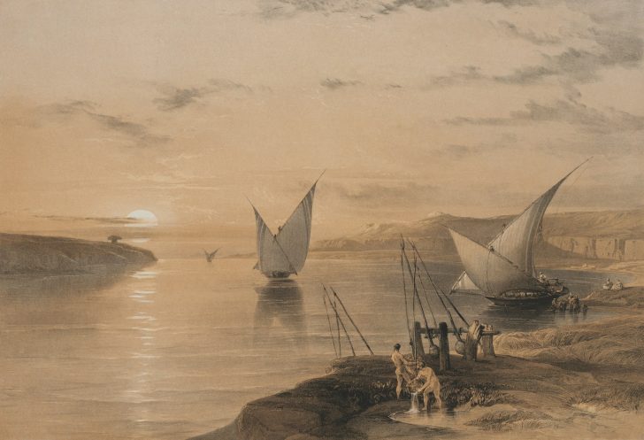
Cleveland / Unsplash / Five crew members took Sugime into open water in July 2019. Their route spanned 140 miles, from Taiwan’s eastern coast to Yonaguni Island, the westernmost tip of Japan’s Ryukyu chain.
The only tools they brought were star maps, their eyes, and raw grit. The journey lasted over 45 hours. Paddlers fought sleep, muscle pain, and mental fog. At one point, some began hallucinating. They took turns resting inside the canoe, but sleep was hard to find with waves constantly rocking them.
Without any modern navigation tech, the team depended on the sun, stars, and ocean swell patterns to stay on course. Cloud cover made it even harder. One wrong turn and they could have missed the island completely.
This wasn’t just about proving that a canoe could survive the sea. It was about proving people could actually steer it with accuracy, long before compasses or maps existed. That required sharp observational skills and a deep understanding of natural signs.
Ocean Models Backed the Findings
Scientists didn’t just rely on the canoe test. They also ran hundreds of virtual simulations to check different launch points and angles. The challenge was launching at the right place and angle to work with, not against, the Kuroshio Current.
The best route turned out to be from northern Taiwan with a slight southeast angle. Going straight north or west didn’t work. These ocean models made one thing clear: this journey had to be planned. It wasn’t a lucky drift.
Cleveland Museum / Unsplash / The computer models also tested whether people could’ve just drifted there by accident. That theory didn’t hold up.
Most drifts would’ve pulled them away from the Ryukyus or pushed them into open ocean, never to be seen again. This means any early crossings had to be intentional. This also shows people understood something about currents, directions, and probably had a plan. That’s a big deal when you are talking about the Paleolithic period, long before compasses or written maps.
From Taiwan’s tallest coastal mountains, some of the Ryukyu Islands are visible. On a clear day, ancient humans could’ve seen the outline of Yonaguni Island from those 4,000-meter peaks.
This supports the idea that scouting happened first. People probably didn’t paddle blindly. They might have seen land across the sea, planned their route, and then set out when weather and timing felt right.